Ecociencia Identifies 111 Mining-Affected Hectares in Protected Areas
A new Ecociencia report adds regulatory and environmental risk data to Ecuador's southern Amazon mining map.
Primicias reports that Fundacion Ecociencia identified 111 hectares affected by mining inside protected areas and conservation areas in Zamora Chinchipe.
Report Details
| Indicator | Detail |
|---|---|
| Affected area identified | 111 hectares |
| Province | Zamora Chinchipe |
| Monitoring period | 2011-2025 |
| Case studies | Four |
| Report cited | Maap #243 |
| Legal reference cited | Article 407 of Ecuador's Constitution |
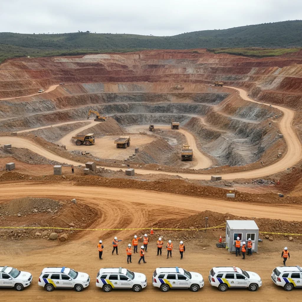
The report covers activity inside and around conservation zones in Zamora Chinchipe, a province located at the transition between the Andes and the Amazon basin.
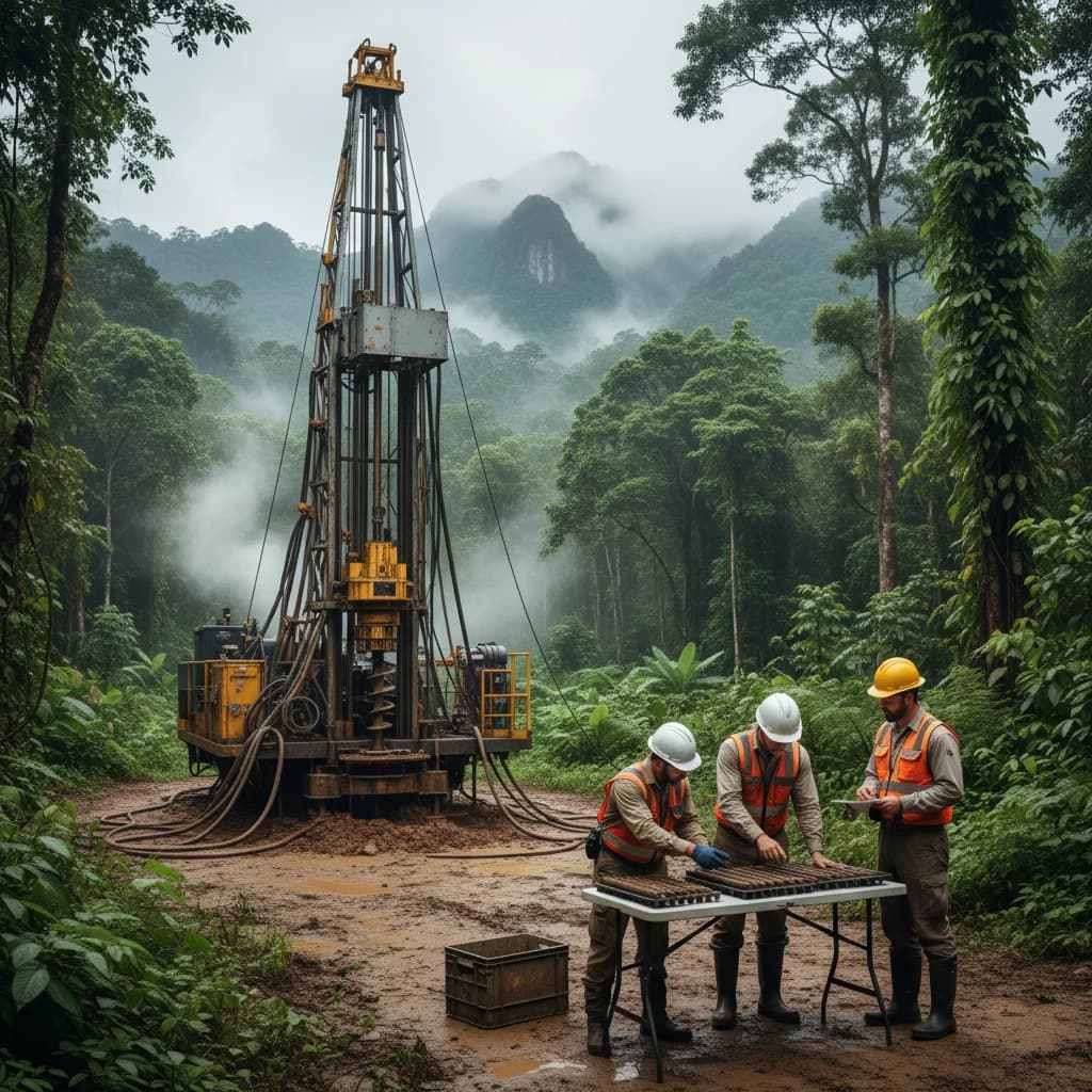
Primicias reports that the study used high-resolution satellite imagery and drone monitoring to identify removal of vegetation cover, soil erosion, sediment pools and abandoned camps associated with mining activity.
Mining-Sector Relevance
The findings are not a production update, but they are material for mining-risk assessment. Ecuador is seeking to develop a larger formal mining pipeline while also facing legal, environmental and community scrutiny around protected areas and conservation corridors.
For concession holders and service companies, the key issue is enforcement spillover: documentation of mining impacts in protected or conservation areas can increase permitting scrutiny across the broader Zamora Chinchipe mining corridor.
What To Watch
- Whether environmental authorities announce inspections or enforcement actions tied to the Ecociencia report.
- Any distinction between formal concessions and illegal mining activity in follow-up reporting.
- Project-level permitting delays in Zamora Chinchipe.
- Additional satellite or drone monitoring reports covering Amazon mining zones.
Source: Primicias
Source
Primicias — “111 hectáreas de áreas protegidas están tomadas por la minería en el sur de Ecuador, según ONG científica”
View original